

Mt. Shasta Mountaineer’s Map
Price range: $40 through $380
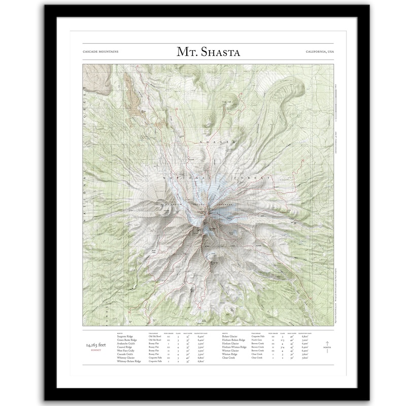
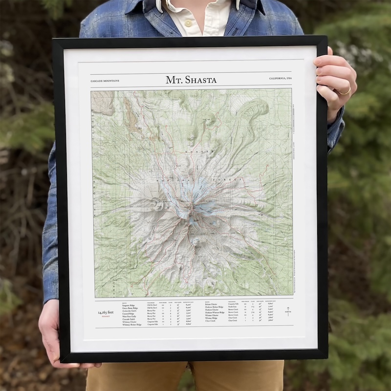
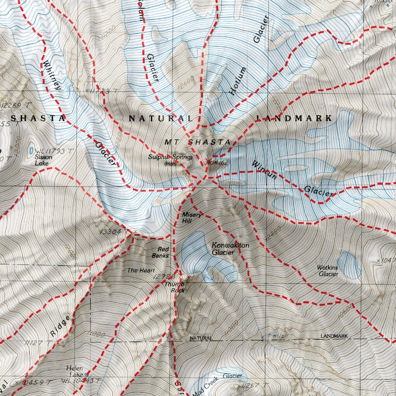
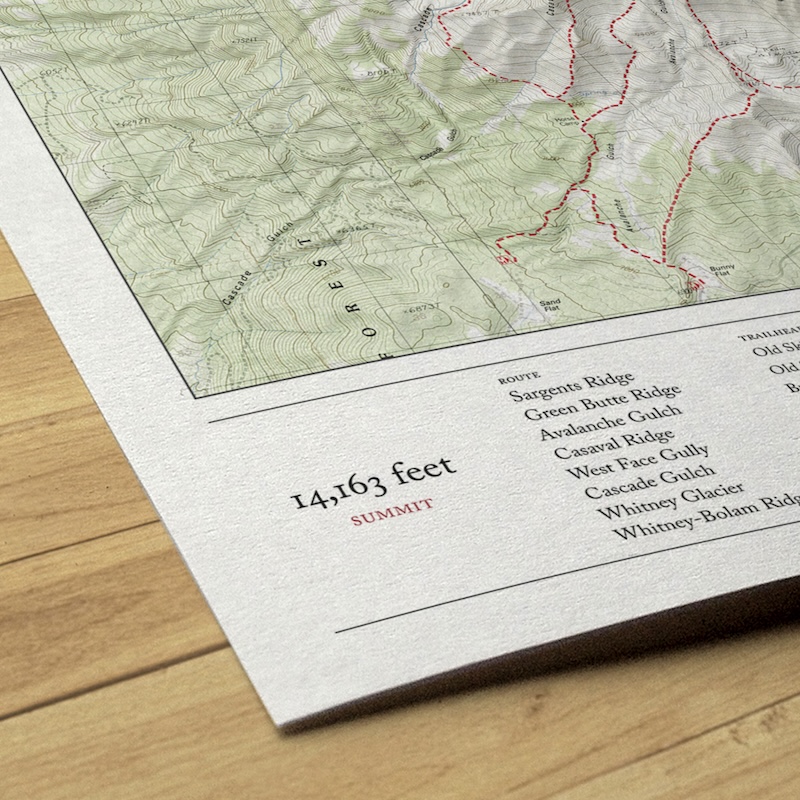
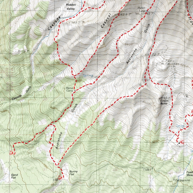
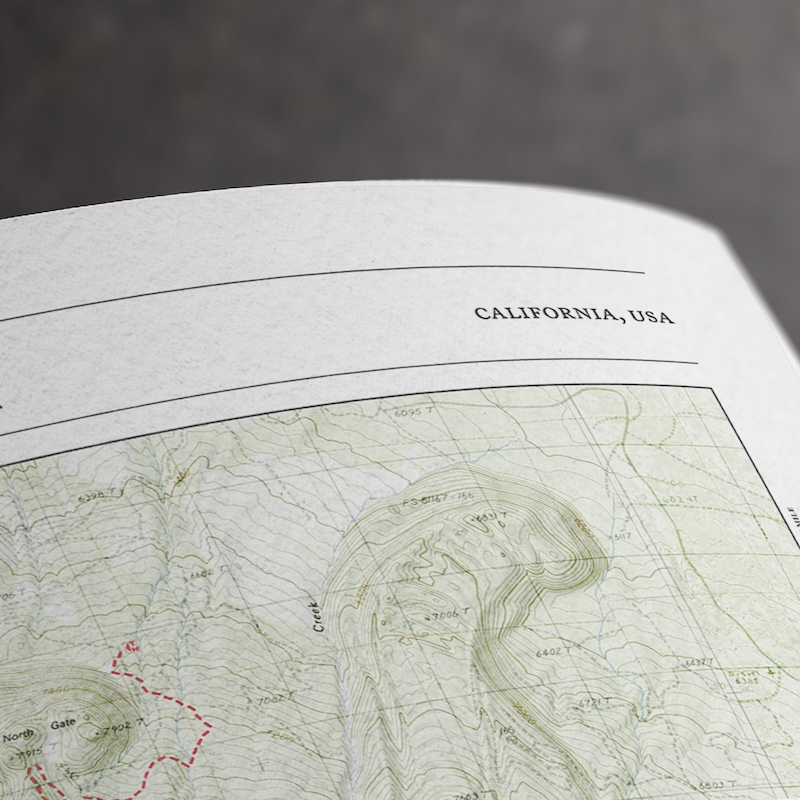
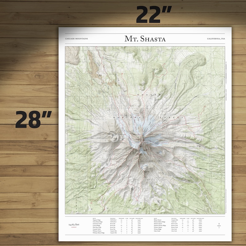
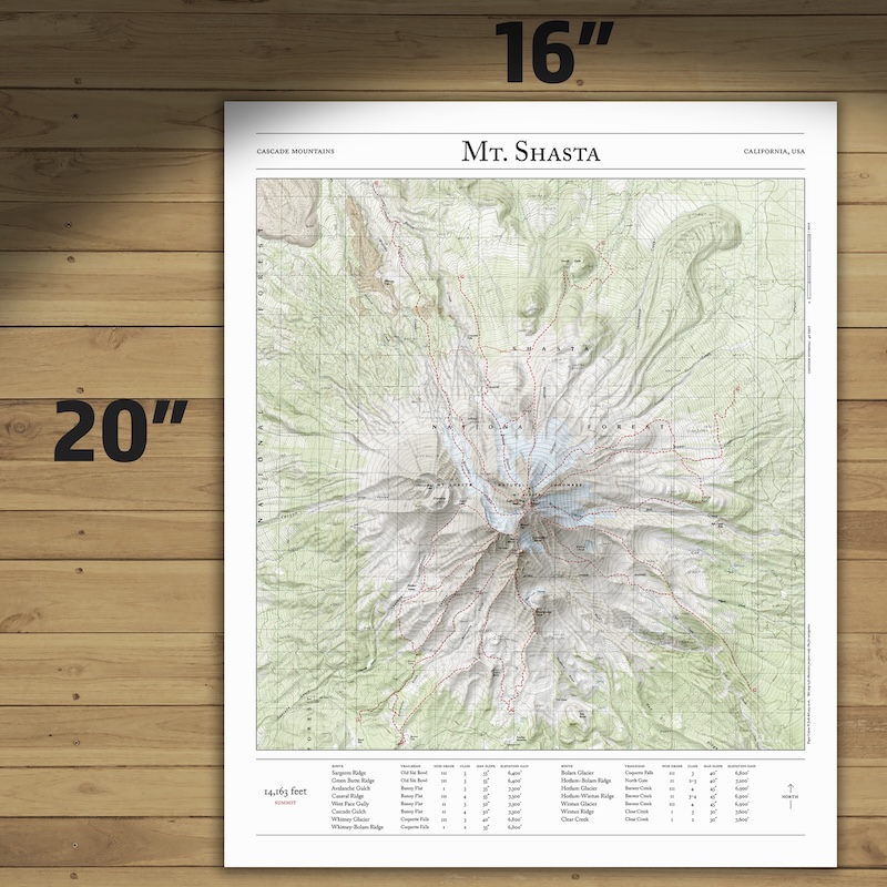
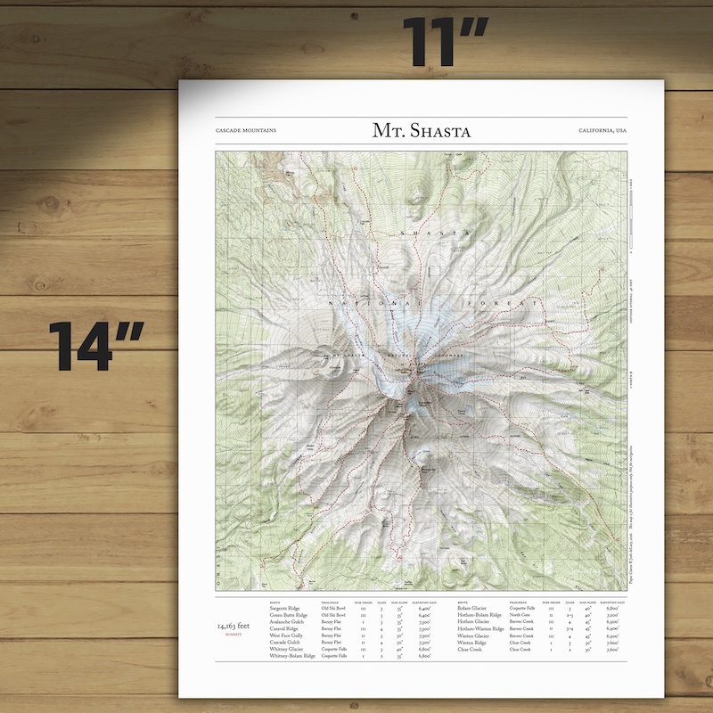
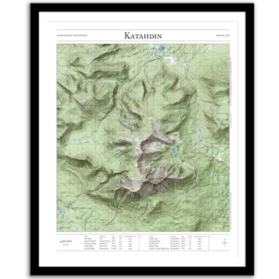
Bring the summit home with this map of the major mountaineering routes to the summit of Mount Shasta, the second-highest peak in the Cascade Mountains, and the fifth-highest peak in California. This 2D print combines hillshading, detailed topography, and trail stats to tell the story of where you’ve been. Made by an independent artist.
For illustrative use only. Not for navigation. Routes on glaciers and above treeline change often.
Routes that appear on the map
- Sargents Ridge
- Green Butte Ridge
- Avalanche Gulch
- Casaval Ridge
- West Face Gully
- Cascade Gulch
- Whitney Glacier
- Whitney-Bolam Ridge
- Bolam Glacier
- Hotlum-Bolam Ridge
- Hotlum Glacier
- Hotlum-Wintun Ridge
- Wintun Glacier
- Wintun Ridge
- Clear Creek
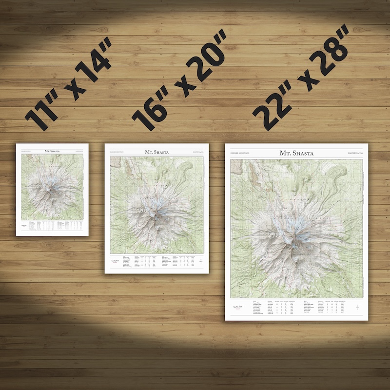
Text and/or cropping might vary slightly at different map sizes. Please view the photos above to see the exact content on the 11×14, 16×20, and 22×28 maps.
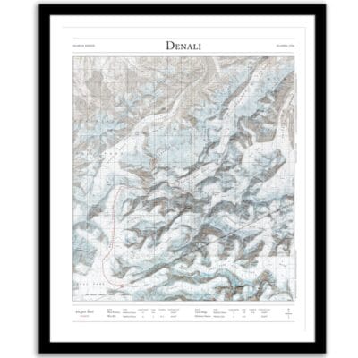
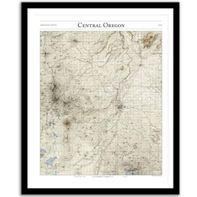
The framed map is flawless, looks great. Josh does a good job.
Easy to work with and delivered on time. Highly recommend!
Josh did an amazing job customizing a Mt Rainier map for me to give to a friend. The print and frame are professionally packaged and high quality My friend loved the print. Josh is responsive, patient and so easy to work with. I will definitely order from Paper Cairns again!