


Mt. Hood Mountaineer’s Map
Price range: $35 through $330
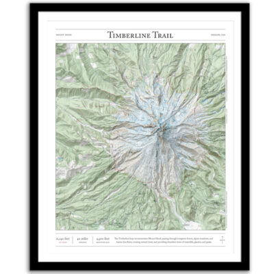
Bring the wilderness home with this print of the major mountaineering routes to the summit of Mount Hood in Oregon. This trail map combines hillshading, detailed topography, and route info to tell the story of your time on the mountain. Made by an independent artist.
For illustrative use only. Not for navigation. Routes above treeline change frequently.
About Mount Hood
Oregon’s highest point, one of the most prominent mountains in the United States, and the home of the only year-round lift-served skiing in North America. Elevation: 11,240 feet
Routes that appear on the map
• Wy’East
• Steel Cliffs
• South Side/Hogsback
• West Crater Rim
• Reid Glacier Headwall
• Leuthold Couloir
• Yocum Ridge
• Sandy Glacier Headwall
• Cathedral Ridge
• Sunshine
• Cooper Spur
• Newton Clark Headwall
Text and/or cropping might vary slightly at different map sizes. Please view the photos above to see the exact content on the 11×14, 16×20, and 22×28 maps.
Josh did an amazing job customizing a Mt Rainier map for me to give to a friend. The print and frame are professionally packaged and high quality My friend loved the print. Josh is responsive, patient and so easy to work with. I will definitely order from Paper Cairns again!
Beautiful quality every time. I’ll be buying more for myself and as gifts.
Map is beautiful – I love that our wonderland trail route is marked as with a lot of landmarks we visited along the way. My son will love it when he gets it for his birthday! Thank you!