


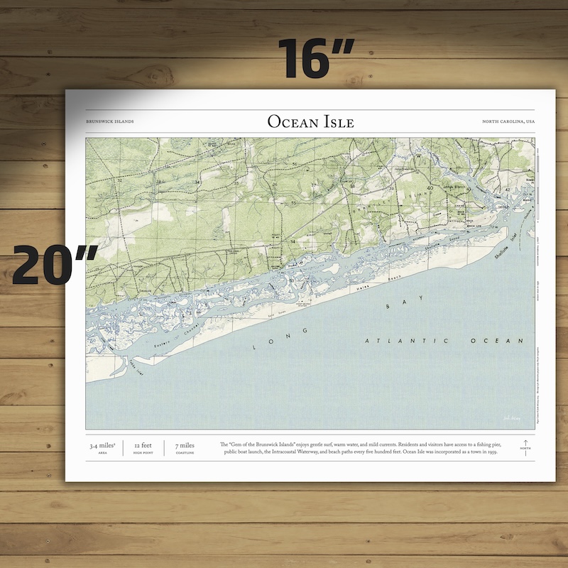


Ocean Isle, NC
Price range: $35 through $330
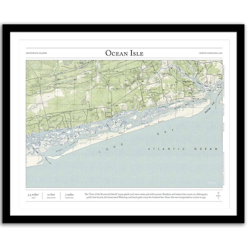
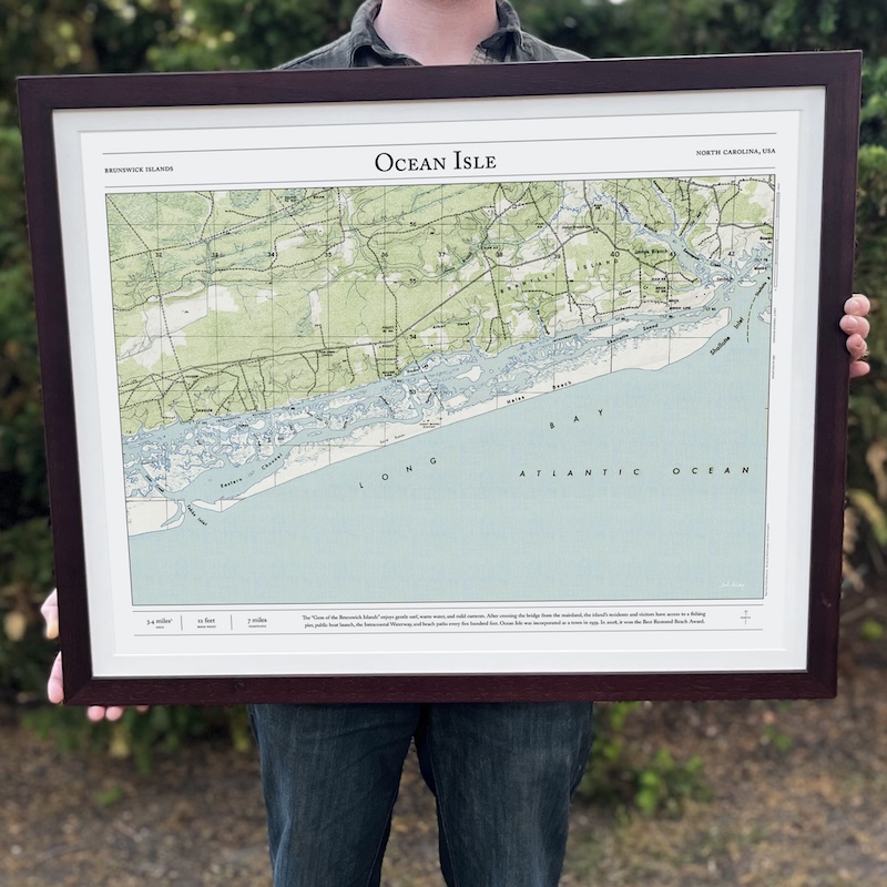
Bring home the story of the island with this print of Ocean Isle in North Carolina. Based on original data from 1950—before the island was developed—this map combines hillshading and detailed topography to show the history of this beloved barrier island. Made by an independent artist.
About Ocean Isle
The “Gem of the Brunswick Islands” enjoys gentle surf, warm water, and mild currents. After crossing the bridge from the mainland, the island’s residents and visitors have access to a fishing pier, public boat launch, the Intracoastal Waterway, and beach paths every five hundred feet. Ocean Isle was incorporated as a town in 1959 (this map is from 1950, before development). In 2008, it won the Best Restored Beach Award.
- High point: 12 feet
- 4.3 square miles
- 7 miles of coastline
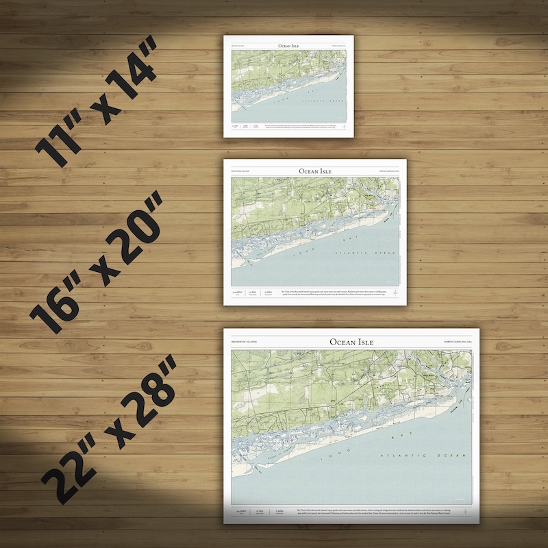
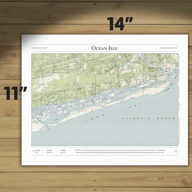
Text and/or cropping might vary slightly at different map sizes. Please view the photos above to see the exact content on the 11×14, 16×20, and 22×28 maps.
Josh did an amazing job customizing a Mt Rainier map for me to give to a friend. The print and frame are professionally packaged and high quality My friend loved the print. Josh is responsive, patient and so easy to work with. I will definitely order from Paper Cairns again!
Beautiful quality every time. I’ll be buying more for myself and as gifts.
Map is beautiful – I love that our wonderland trail route is marked as with a lot of landmarks we visited along the way. My son will love it when he gets it for his birthday! Thank you!