


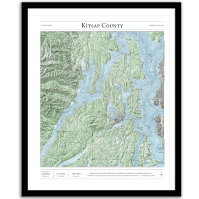
Hood Canal
Price range: $35 through $330
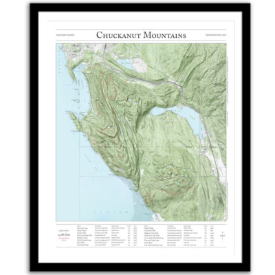
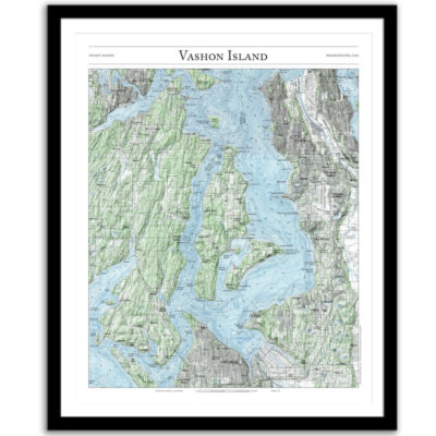
Bring the Hood Canal home as a poster or framed print. This map combines hillshading and detailed topography to tell the story of western Washington and the Pacific Northwest. Made by an independent artist.
For illustrative use only. Not for navigation.
About Hood Canal
Hood Canal is a 68-mile-long saltwater fjord created 13,000 years ago by the Cordilleran Ice Sheet. One of the four main basins of the Puget Sound, it separates the Kitsap and Olympic Peninsulas.
- Average depth: 177 feet
- Surface area: 149 sq miles
- Shoreline: 213 miles
Text and/or cropping might vary slightly at different map sizes. Please view the photos above to see the exact content on the 11×14, 16×20, and 22×28 maps.
Josh did an amazing job customizing a Mt Rainier map for me to give to a friend. The print and frame are professionally packaged and high quality My friend loved the print. Josh is responsive, patient and so easy to work with. I will definitely order from Paper Cairns again!
Beautiful quality every time. I’ll be buying more for myself and as gifts.
Map is beautiful – I love that our wonderland trail route is marked as with a lot of landmarks we visited along the way. My son will love it when he gets it for his birthday! Thank you!